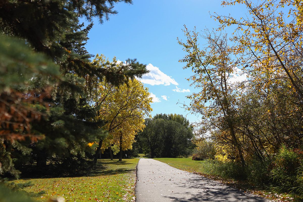
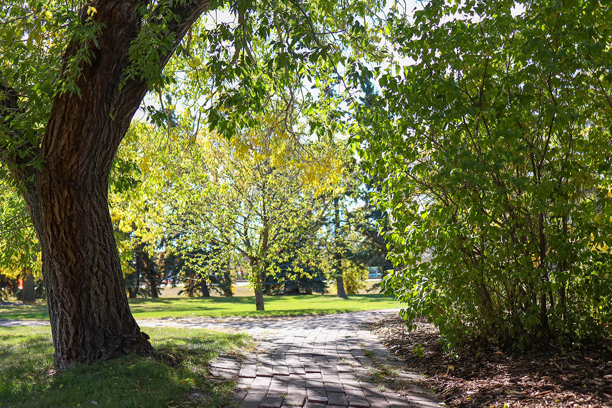
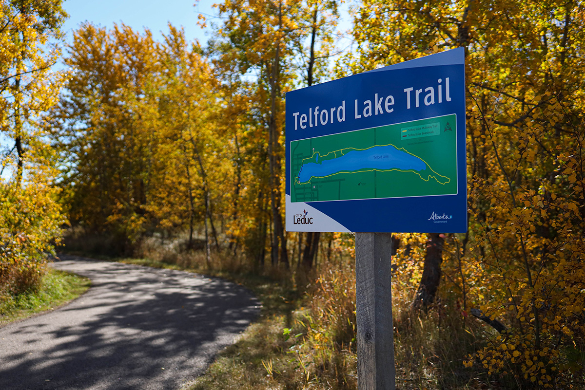
Skip to Main Content

Leduc boasts over 85 kilometres of scenic multi-use pathways, offering residents and visitors plenty of opportunities to enjoy the area’s natural beauty.

This expansive multiway trail system is designed to provide easy access to nature, winding through vibrant parks, peaceful wooded areas, and along the picturesque shores of Telford Lake.

Maintained for year-round enjoyment, many pathways are cleared during the winter to ensure safe access for all-season activities.

Check out the multiway trail map to plan your trip ahead!

Make the Most of Leduc’s Trails

To make the most of Leduc’s incredible trail system, users can explore the City of Leduc Discovery Map, an interactive resource that highlights all available pathways and trails.

This map is a helpful tool for planning outdoor adventures and providing detailed information on trail locations, connections, and scenic spots.

With just a few clicks, anyone can see Leduc’s full trail network, find nearby amenities, and explore various routes suited to their interests. The Discover Map makes it easy to discover the best walking, cycling, and hiking routes in Leduc, allowing everyone to experience the natural beauty that makes this city unique.

A paved path winds through a park with trees showing early autumn foliage under a clear blue sky.