Under the Area Structure Plan & Outline Plan Guidelines for the City of Leduc, City Council may adopt or amend by resolution a non-statutory outline plan. An outline plan is required in some instances to provide a framework for subsequent subdivision and development of an area. The proposed amendment of an outline plan must be published to allow citizens an opportunity to clarify what is proposed, ask questions, or present objections at a required public hearing. Council will consider all comments before voting on whether to amend the outline plan.
The main purpose of the amendment is to add Plan 222 0827, Block 1, Lot 2 (the added lands), which were recently purchased by the developer of Anderson/Leduc Landing, to the approved Outline Plan (OLP) area (NE-33-49-25-W4) in order to provide more cohesive planning for the neighbourhood.
The added lands are located in the northwest corner of the city and are currently undeveloped. The lands are bounded by future 65 Avenue road right-of-way and Airport lands on the north, Deer Creek and the Grayson lands on the west, the approved Anderson and Leduc Landing neighbourhoods on the east, and the Woodbend neighbourhood on the south. In order to accurately reflect the neighbourhood names within the plan area, the name of the OLP is proposed to be changed from NE33 to Anderson / Leduc Landing OLP. The lands under the proposed amendment to the OLP fall within the overarching West Area Structure Plan (ASP), which highlights more general land uses, and servicing and transportation patterns for the lands.
The northern half of the added lands have been proposed for a stormwater management facility, as well as business employment-type uses (e.g. office, commercial), which is designed to capitalize on the economic activity of the airport and transportation corridors in the area, while ensuring that some buffering between residential uses to the south and the airport lands to the north is provided.
The southern portion of the added lands are designed for Medium Density Residential (MDR) land uses, incorporating housing types such as townhouses and low-rise apartments.
Both the residential and employment areas are supported by multiway trails that circulate through the neighbourhood and connect residents to future commercial lands to the north. While no park spaces are proposed within the added lands, multiway is proposed to cross the creek into the adjacent Grayson neighbourhood, and nearby park spaces within the plan area will provide a variety of outdoor recreational amenities. Integral to the overall design is the protection of the Deer Creek watershed which runs north/south along the western boundary of the plan area.
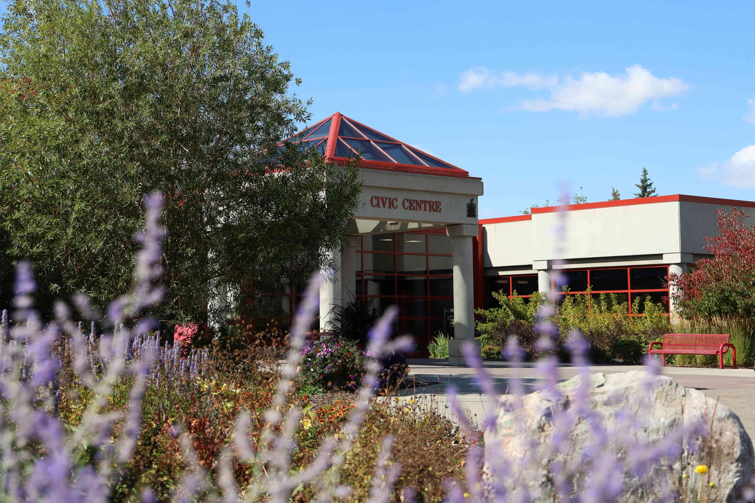
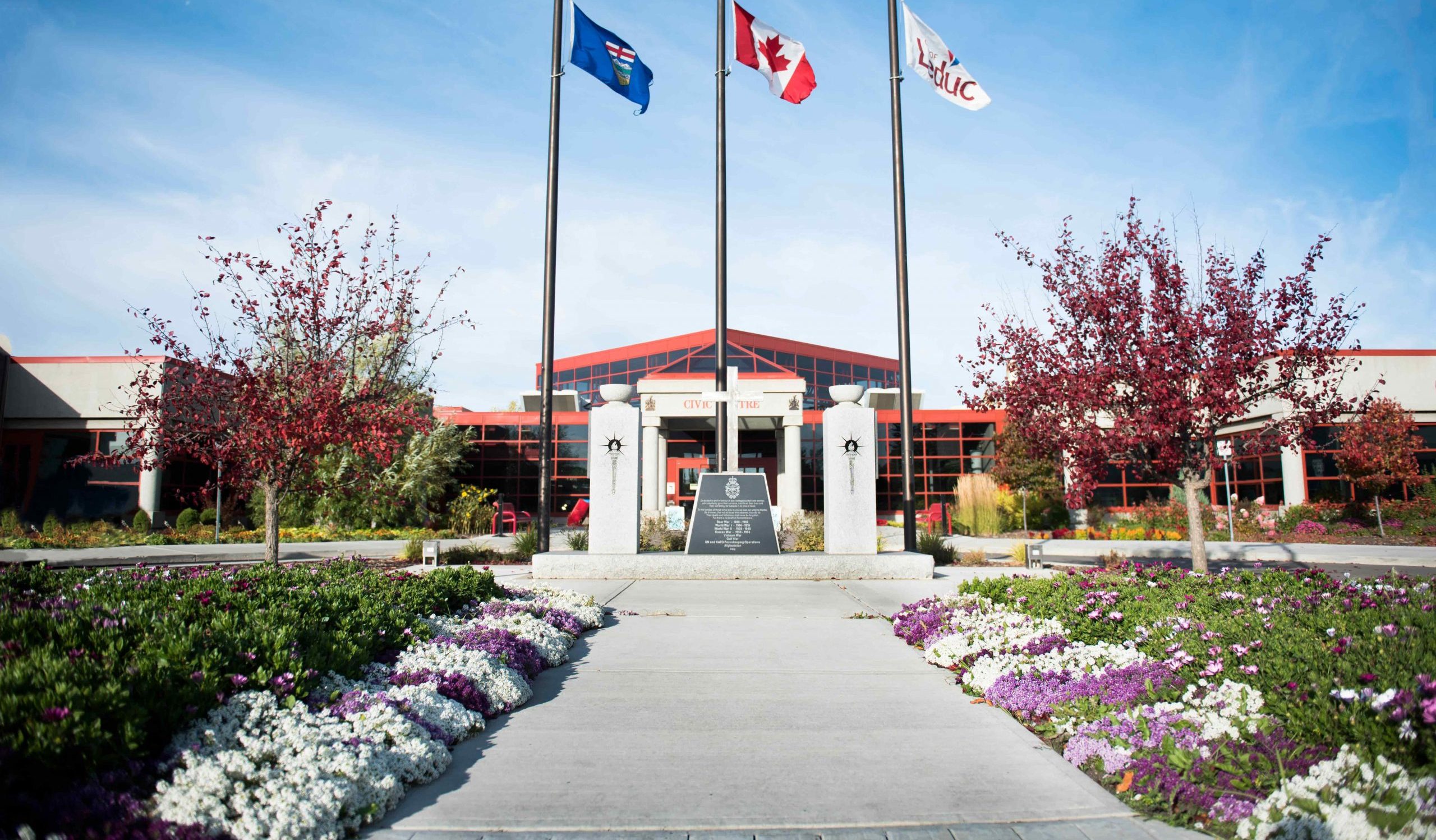
A copy of the proposed Outline Plan Amendment that will be presented to City Council may be inspected by the public between the hours of 8:30 a.m. and 12:00 noon and 1:00 p.m. and 4:30 p.m. at the Office of the City Clerk, City Hall, Leduc Civic Centre, 1 Alexandra Park, 46th Avenue and 48A Street, Leduc, Alberta. A copy of the proposed bylaws may also be viewed on the City’s website (www.leduc.ca/hearing-notices). Inquiries can be made by contacting the Planning & Economic Development department ([email protected]; (780)-980-7124)
Public Hearing – June 1, 2026
Leduc City Council will hold a public hearing on this proposed bylaw on Monday, June 1, 2026 at 5:30 p.m. or as soon thereafter as may be convenient, in the Council Chambers at the Leduc Civic Centre, #1 Alexandra Park (46th Avenue and 48A Street), Leduc, Alberta. Anyone interested may be heard by Council prior to the proposed bylaw being considered for second reading.
Presentations/submissions: Anyone who wishes to speak to Council at the time of the public hearing or provide a written submission is asked to contact the City Clerk’s Office (780)-980-7156 or [email protected]).